
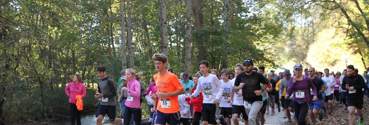
The scheduled route for the run & walk begins in the Soque Valley and travels a combination of improved gravel roads and paved state highway over mostly gentle and rolling terrain and along the “bottomlands” of the river valleys.
The start and finish line is staged on the banks of the Left Fork Soque River . The route will leave the race staging area (elevation 1611 ft.), and turns right out onto Old Chimney Mountain Road (gravel) and crosses the Left Fork Soque River. Old Chimney Mountain Road rises slightly toward State Hwy. 356 for about .4 mile, before the route turns right onto the highway.
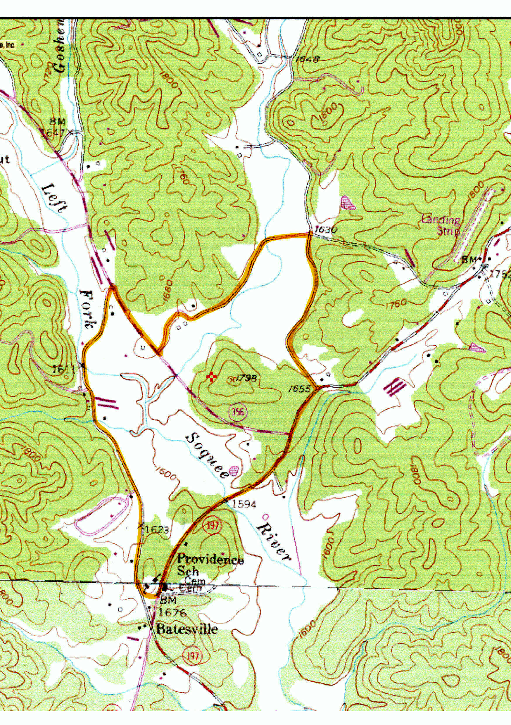 The route then travels down State Hwy. 356 for about .3 mile, then takes a left onto Virgel Lovell Rd. (gravel – labeled “Stamey Station” on map). Virgel Lovell Rd. meanders along gently above the Goshen Valley and the Right Fork Soque River to your right for about .4 mile, then takes an abrubt right over a wooden bridge over the river and onto Goshen Valley High passing through a field (.2 mile) with views of Goshen Mountain to your left.
Goshen Valley High intersects into Goshen Creek Road (elevation 1630 ft.), and the route turns right for about .3 mile and slightly uphill past Land O’Goshen and then dead ends into State Hwy. 197.
The route then turns right onto State Hwy. 197 (elevation 1655 ft.) and heads south on a gradual and then increasingly downhill slope for about .6 mile to where the Soque River crosses the highway (elevation 1594 ft. – lowest point in route). Then the route rises in elevation for .5 mile to just north of the Batesville General Store (elevation 1676 ft.).
The route takes a right just past the site of the old Providence schoolhouse and back onto Old Chimney Mountain Road (gravel), where it quickly levels off (elevation 1623 ft.) and meanders for .9 mile mostly on a slight downhill back towards the finish line at the river.
[mappress mapid=”1″]
